

 10 Terms
Home > Terms > English, UK (UE) > Geotiff
Geotiff
A file format that embeds image registration information directly into a raster file; an industry-neutral raster file format widely used and recognised by all of the major GIS software vendors. ESRI began support for Geotiff at version 7.0 of ARC/INFO and version 3.0 of arcview. Geotiff represents an effort by over 160 different remote sensing, GIS, cartographic, and surveying related companies and organisations to establish a TIFF-based interchange format for georeferenced raster imagery.
0
0
Improve it
- Part of Speech: noun
- Synonym(s):
- Blossary:
- Industry/Domain: Natural environment
- Category: Coral reefs
- Organization: NOAA
- Product:
- Acronym-Abbreviation:
Other Languages:
Member comments
Terms in the News
Featured Terms
Industry/Domain: Health care Category:
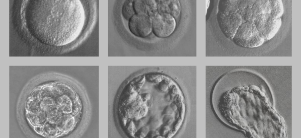
Robert G Edwards
Awarded 2010 Nobel Prize in physiology or medicine, Dr. Robert Edwards, along with the late Dr. Patrick Steptoe, developed in-vitro fertilisation ...
Contributor
Featured blossaries
stanley soerianto
0
Terms
107
Blossaries
6
Followers
10 Most Popular YouTubers
Category: Entertainment 2 10 Terms
10 Terms

Browers Terms By Category
- Organic chemistry(2762)
- Toxicology(1415)
- General chemistry(1367)
- Inorganic chemistry(1014)
- Atmospheric chemistry(558)
- Analytical chemistry(530)
Chemistry(8305) Terms
- Health insurance(1657)
- Medicare & Medicaid(969)
- Life insurance(359)
- General insurance(50)
- Commercial insurance(4)
- Travel insurance(1)
Insurance(3040) Terms
- Inorganic pigments(45)
- Inorganic salts(2)
- Phosphates(1)
- Oxides(1)
- Inorganic acids(1)
Inorganic chemicals(50) Terms
- Mapping science(4042)
- Soil science(1654)
- Physical oceanography(1561)
- Geology(1407)
- Seismology(488)
- Remote sensing(446)
Earth science(10026) Terms
- General accounting(956)
- Auditing(714)
- Tax(314)
- Payroll(302)
- Property(1)